Now he's created a map
 that shows all of the nuclear reactors on earth, color-coded by size and type.
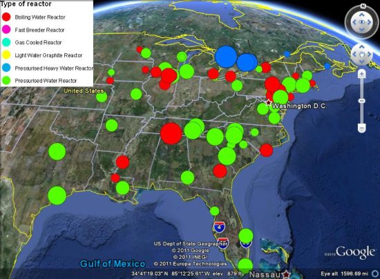
The map has a ton of information, but some of the images don't load correct in the plug-in version linked above. To best use the map, download this KMZ file
and load it up in Google Earth.For more, check out his full post with more info about the map and data, or check out our post from yesterday that shows you how to see day-by-day imagery of the Fukushima plant after the earthquake struck
No comments:
Post a Comment