Update, 6 PM:
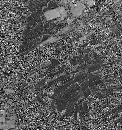
Defense department maps and imagery of the Bin Laden compound has been released; see galleries here and here, among others. See also the New York Times’s interactive map. And then there’s this recent satellite image of Abbottabad from Digital Globe —

— which Ogle Earth’s Stefan Geens has made into a Google Earth overlay.
No comments:
Post a Comment