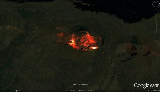
At over 2,000 sq. mi., Mauna Loa is the largest volcano in the world. In fact, if you measure it from its base deep in the ocean, it's the highest mountain on the planet!
Google Sightseeing has recently created
a great tour of the volcano, showing off some of its most amazing features like the lava flow (
KML
) seen below.

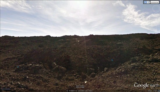
In addition to the amazing satellite imagery and 3D terrain in Google Earth, there is also Street View imagery in various places around the volcano.
This KML file
will take you to one of the highest Street View points in the area. If you're not familiar with how to use Street View in Google Earth,
this post will help you get started.

The volcano had its last major eruption in 1984, putting us in the middle (or the end?) of the longest quiet period that has ever been recorded for Mauna Loa.
To learn more, check out the
full post on Google Sightseeing and then grab their
KML file
to view all of the sights mentioned in the post.
 In addition to the amazing satellite imagery and 3D terrain in Google Earth, there is also Street View imagery in various places around the volcano. This KML file
 The volcano had its last major eruption in 1984, putting us in the middle (or the end?) of the longest quiet period that has ever been recorded for Mauna Loa.
To learn more, check out the full post on Google Sightseeing and then grab their KML file
No comments:
Post a Comment